

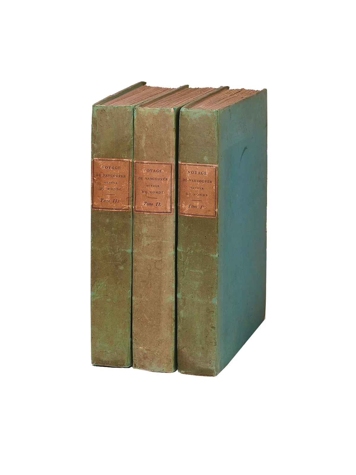
Voyage de découvertes, à l’Océan Pacifique du Nord…
The text volumes bring together 17 full-page views engraved by Alexandre Tardieu, together with one map. They are accompanied by a large atlas containing 10 double maps (660 x 950 mm) and 6 single plates of coastal views.
At the dawn of the 1790s, the British Admiralty wished to settle, once and for all, the question of the existence — or absence — of a passage between the Atlantic and the Pacific. Cook had demonstrated that no such passage of any commercial value existed north of latitude 55° N. There remained, however, the possibility that Alaska was a vast island, connected by a passage whose entrance lay further south. This was the mission entrusted to one of Cook’s former lieutenants, George Vancouver.
A 340-ton vessel, suited to the purpose, was purchased, named Discovery, and set sail from Falmouth on April 1, 1791. The voyage to the northwest coast was to take more than a year, by way of Tenerife (Canary Islands), the Cape of Good Hope, New Holland, New Zealand, Tahiti and the Sandwich Islands. The North American coast came into sight on April 17, 1792.
“The hydrographic survey was conducted with remarkable rigor. Vancouver’s latitudes differ very little from those accepted today; his longitudes, the calculation of which was still more difficult, show variations of only a third of a degree to one degree. The results obtained deserved comparison with those of Cook; indeed, the numerous references to the latter’s printed volume, A Voyage to the Pacific Ocean […] (London, 1784), show that it remained the ideal model Vancouver always had in mind. John Cawte Beaglehole, the great Cook scholar, notes that, of all the men trained by him, Vancouver was “the only one whose work as a hydrographer would place him in the same class as his commander.” The ship returned to the shores of Ireland in September 1795, bringing to a close one of the longest voyages of discovery in history — more than four and a half years: some 65,000 miles had been covered, with remarkably few human losses: one man died of illness, another of poisoning, and four by drowning […]. Most of the several hundred place names chosen by Vancouver to designate the various geographical features have been preserved.” (Kaye Lamb, Dictionary of Canadian Biography).
Fine condition of the boards, despite darkened spines.
Provenance: Bibliothèque Jimmy Drulhon (Paris, Alde, V, 2012, no. 344).