

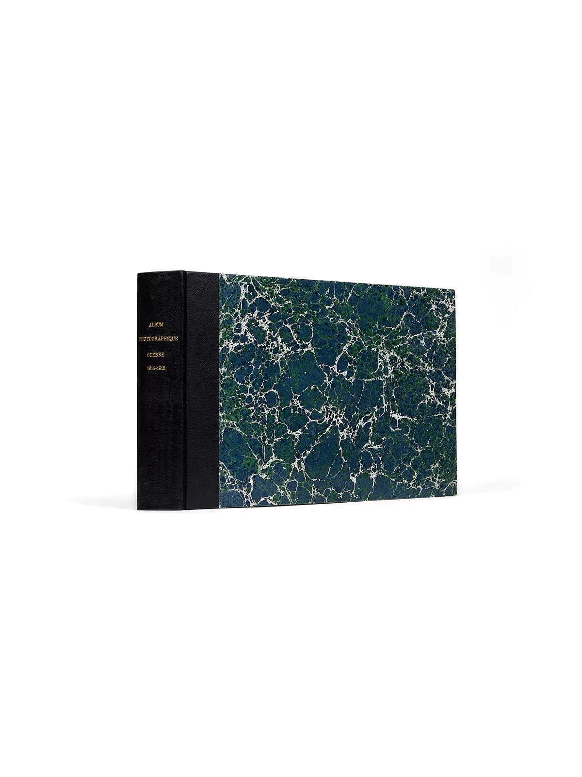
Album de photographies
Three locations can be identified. The first is the border post at Foussemagne, in the Territoire de Belfort. In 1914, Alsace was German territory: since the defeat at Sedan, the border between France and Germany, fixed by the Treaty of Frankfurt in 1871, ran from Luxembourg to the Swiss border near Réchésy, marked by 4,056 boundary markers planted at intervals of about one hundred meters according to the terrain. These stelae, of varying sizes, some as tall as one meter, were numbered. Foussemagne has six on its territory, and a third can be seen next to the French customs offices, in a house in the Faubourg Saint Antoine, on the boundary with Chavannes-sur-l’Étang. It bears the number 3802 engraved on one of its sides. Tens of thousands of men were massed at this border, which the Army of Alsace crossed on August 11, 1914.
Other photographs identify the commune of Maurupt-le-Montois, along with a postcard depicting the town, in the Marne department, the scene of violent fighting a month later: from September 5 to 12, the battle that bears its name allowed a gravely compromised military situation to be reversed and halted the German plan to invade France, at the cost of an ordeal that left the village 90% destroyed. Like many neighboring communes, it was cited in army orders and received the Croix de guerre on September 20, 1920. It is now home to a national cemetery holding the remains of 515 French soldiers who died there over those few days — a small fraction of the 250,000 young Frenchmen who, during August and September 1914, were killed, wounded or reported missing in a headlong race to outflank the enemy. French and German forces came to a standstill facing each other all the way to the shores of the North Sea: the war of movement ground to a halt, and the conflict then settled into four years of trench warfare.
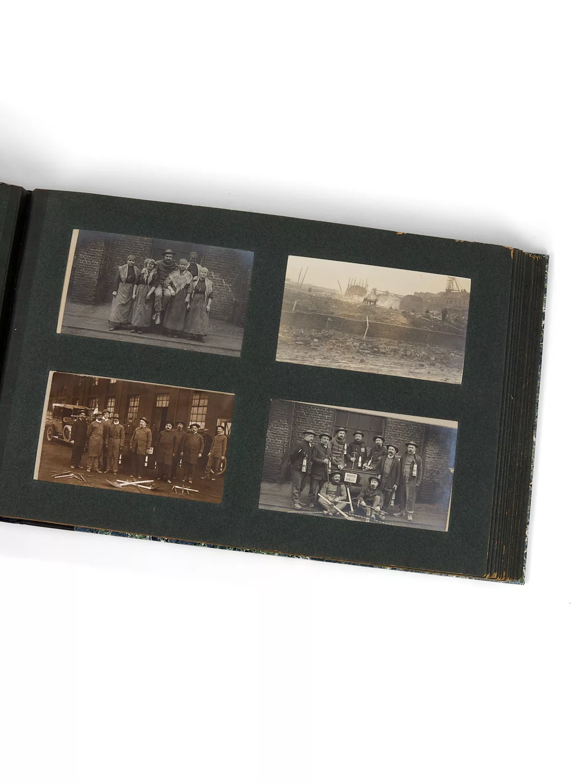
It is precisely toward the north that a third location can be identified: the Bruay mines. Located near Béthune, these were, along with the mines of Marles, the only mines in the north not captured by the Germans, who controlled two-thirds of the mining basin of the Nord and Pas-de-Calais, which in 1913 supplied nearly 70% of French coal production.
Heavily fortified, these mines were then overexploited during the war to meet demand. President Raymond Poincaré made a special visit to Bruay to encourage the miners in 1915, and the mining workshops were also called upon to produce what commercial industry could no longer supply: tools, railway equipment and even lightbulbs made in the central workshops. At their peak in 1918, the mines employed more than 20,000 workers, including 16,000 underground miners. In 1918, facing defeat, the Germans planned the destruction of the mining basin by releasing 110 million cubic meters of water to flood the pits. Several years of pumping were needed to restore the mines to working order.
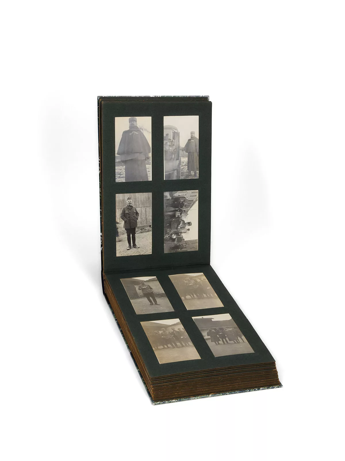
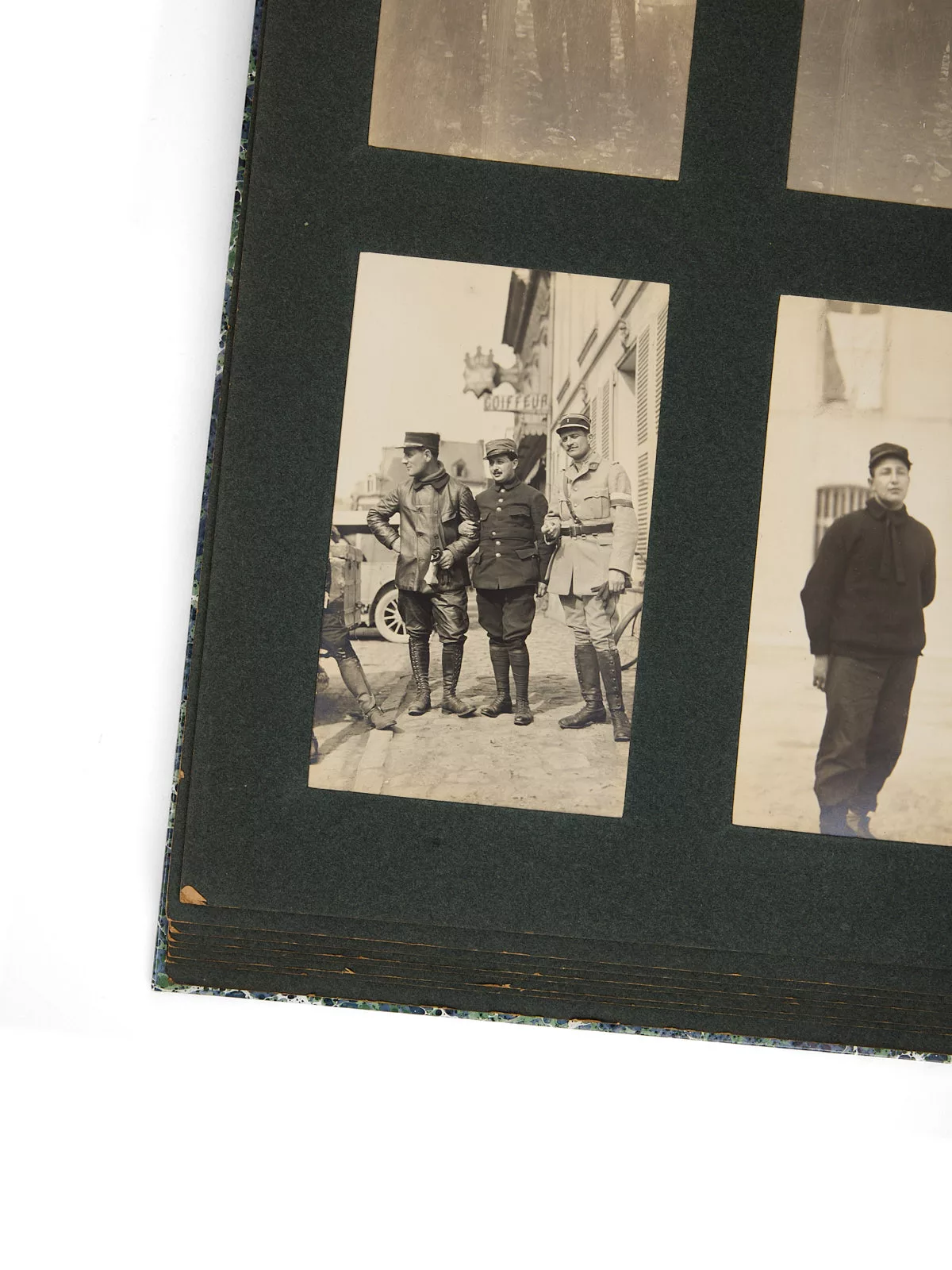
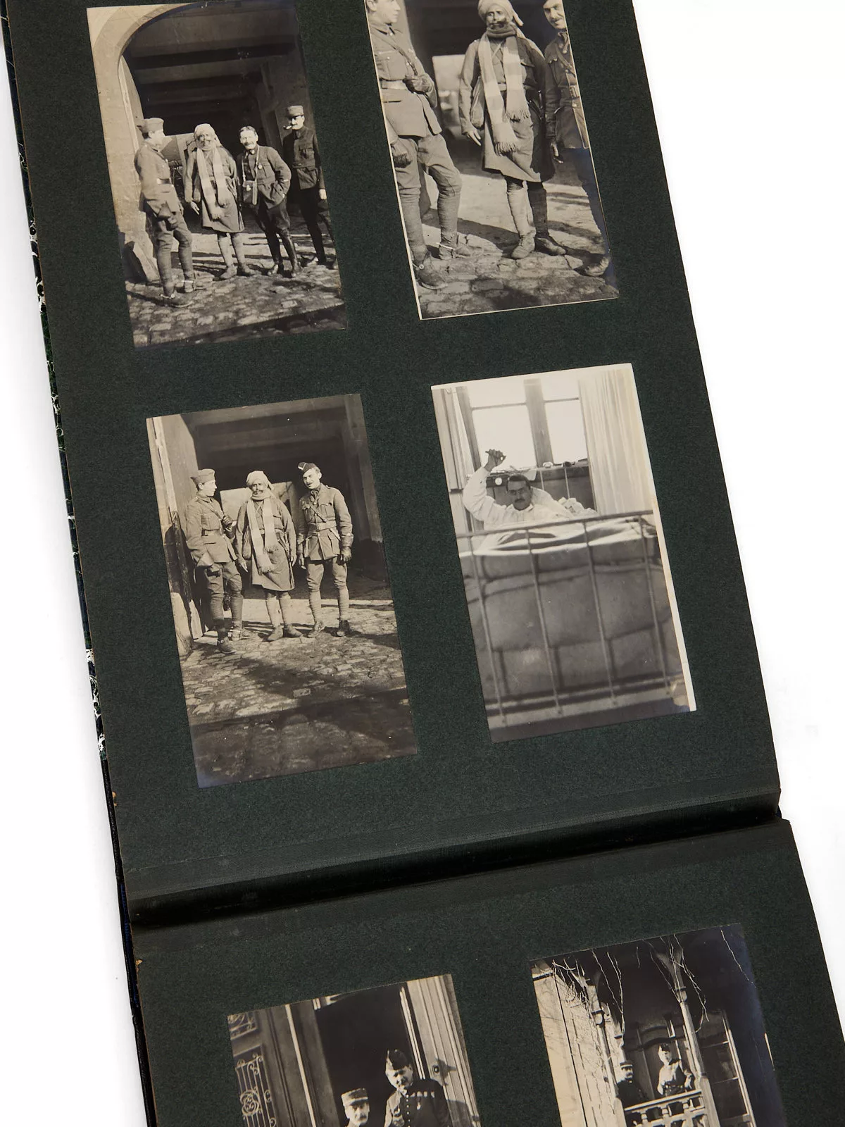
From Belfort to Artois and on to the Pas-de-Calais, the anonymous photographer documents in this series the destruction caused by the fighting during these first months of the war, just before trench warfare slowly took hold of the terrain.
A concrete and moving testimony to the places and the men who suffered misfortune and pain there.